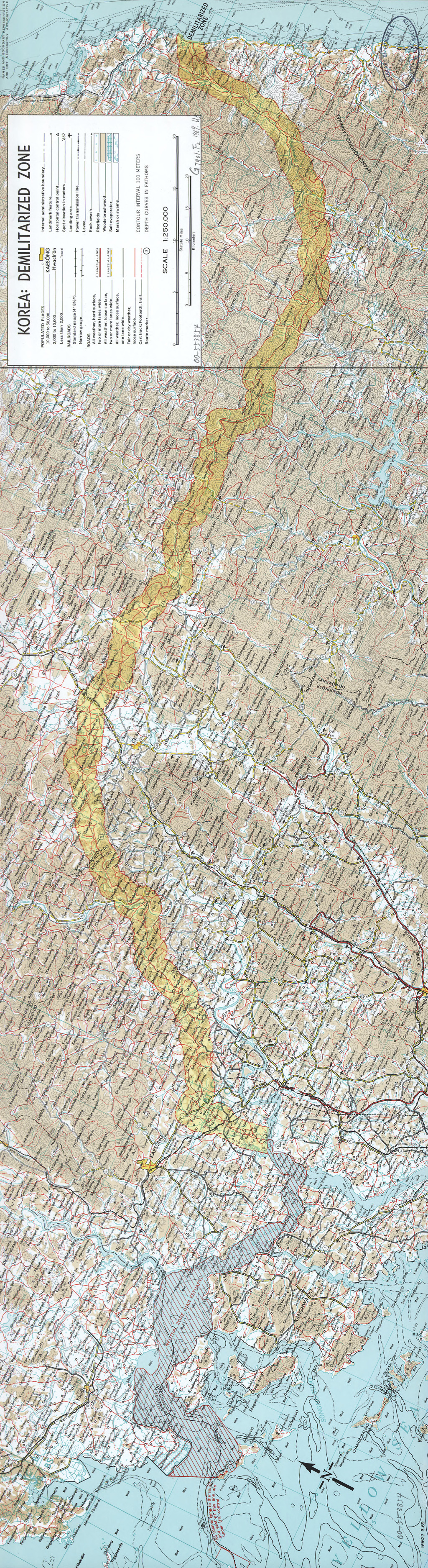
The Korean Demilitarized Zone (aka DMZ) in a a 1969 map created by U.S. Central Intelligence Agency. It is a strip of land about 4 km wide running across the Korean Peninsula, established in 1953 by the provisions of the Armistice Agreement for the Restoration of the South Korean State to serve as a buffer zone between the Democratic People’s Republic of Korea (North Korea) and the Republic of Korea (South Korea). Despite its name, it is one of the highests military density areas in the world.
Original file: Library of Congress