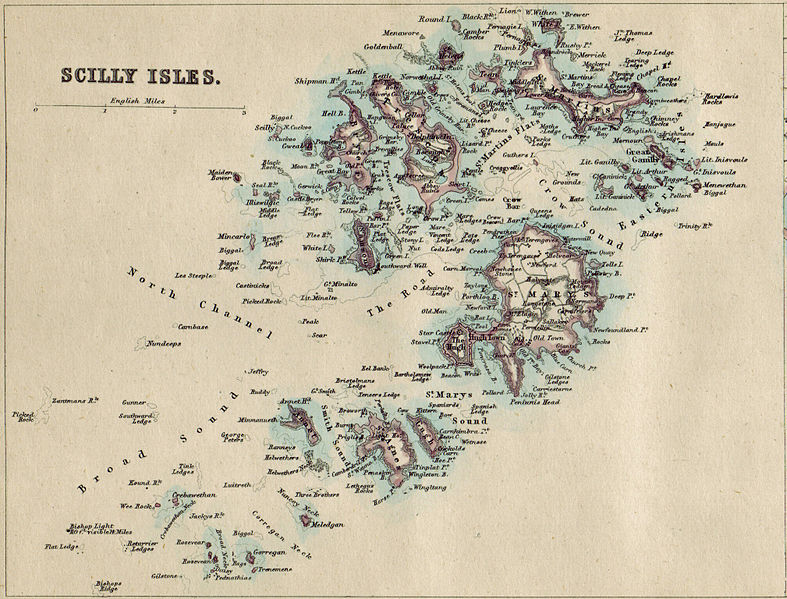
Map of the Isles of Scilly, drawn in 1874 by John Bartholomew. The Scilly is an archipelago located 45 kilometers from Land’s End head,the most is the most westerly point of mainland Cornwall and England. Scilly forms part of the ceremonial county of Cornwall, but since 1890 the islands have had a separate local authority.
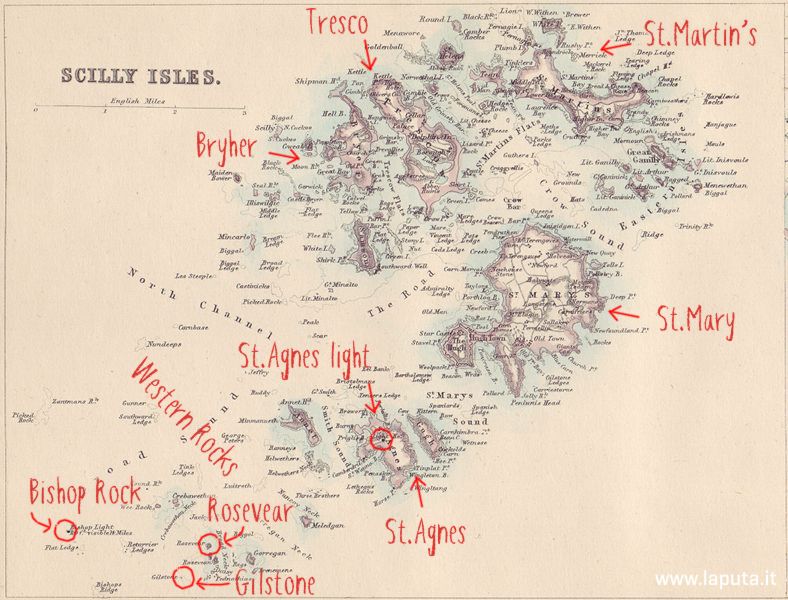
Highlighted in the diagram below (from the most populated) the inhabitated islands of St. Mary’s, the largest and which houses the capital Hugh Town, the islands of Tresco, St. Martin’s, Bryher, St. Agnes (where St. Agnes lightous is located) and Gugh, besides of several uninhabited islets. On the left lie the Western Rocks that form a subarchipelago of islets and rocks with Gilstone, Rosevear and Bishop Rock; this latter hosts a famous lighthouse.
Source: Wikimedia Commons


