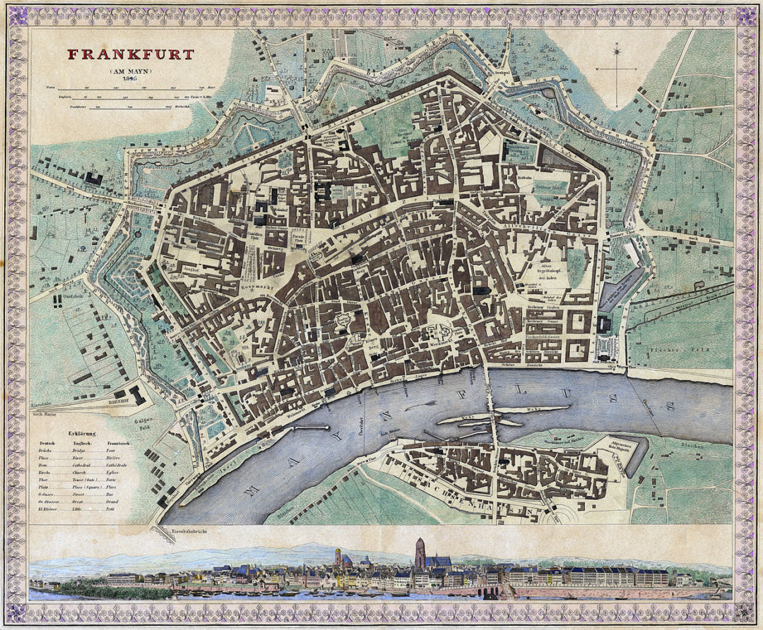
Frankfurt am Main in a 1845 map from the Josepg Meyer’s Hand Atlas (Grosser Hand-Atlas über alle Theile der Erde in 170 Karten. Verlag des Bibliographischen Instituts, Hildburghausen 1843–60); hand colored steel engraving. This is just a slightly revised and therefore partly yet obsolete version of an 1837 map by the Society for the Diffusion of Useful Knowledge.


